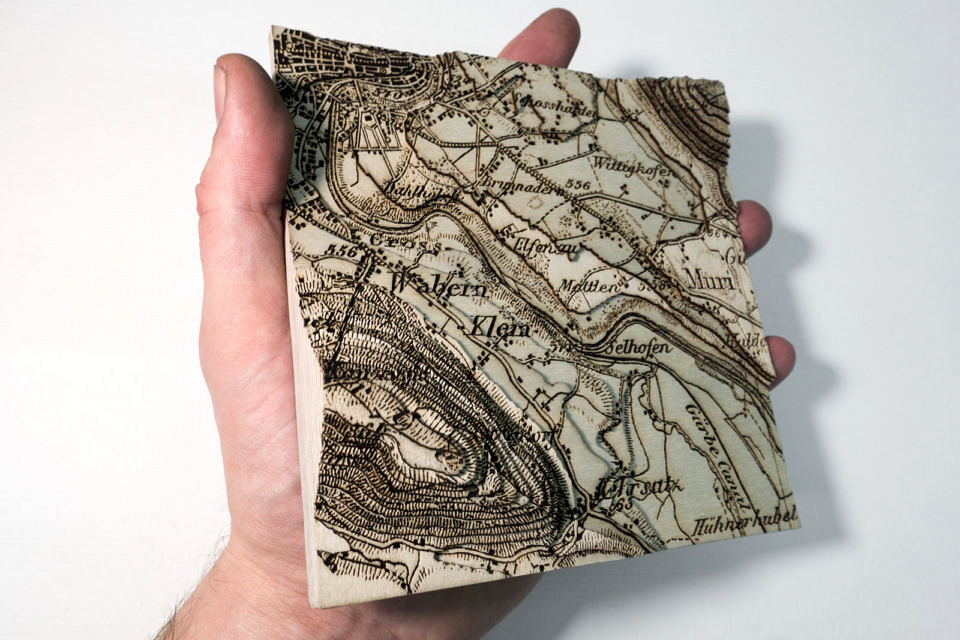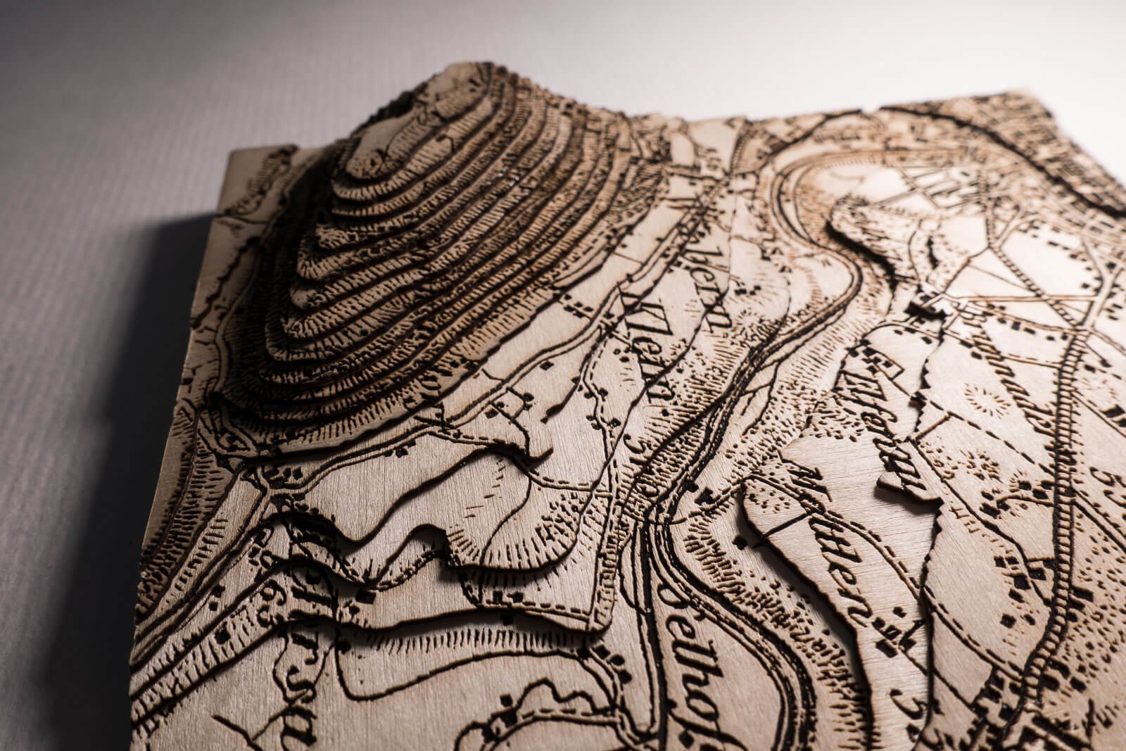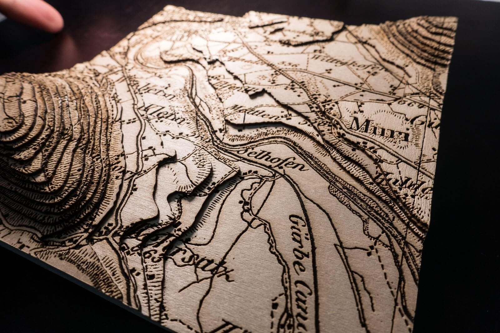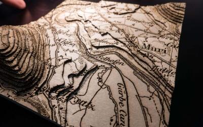
The Topographic Map of Switzerland also know as the Dufour Map is the oldest official map of Switzerland. It was first published between 1845 and 1864 and updated up to 1939. It still remains to this day one of the most beautiful maps of Switzerland.
The Dufour Map of the First Edition from 1864 was enhanced with a digital elevation model and lasercut from birchwood. After engraving the separate pieces were glued together.
The map section shows Wabern near Berne, Switzerland.