Topographic Map of Zurich
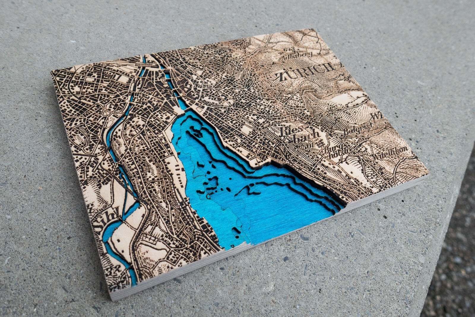

Zurich, Switzerland 1864-1933
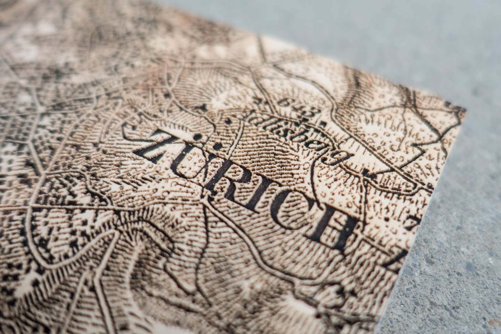
The Topographic Map of Switzerland or ‘Dufour Map’ is the oldest official map of Switzerland. Published between 1845 and 1939 it remains one of the most beautiful maps of Switzerland.
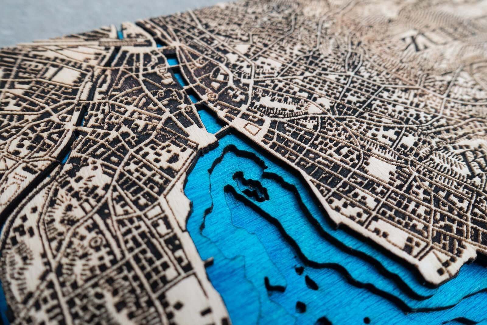
The Dufour Map of Zurich in the most recent version of 1933 was enhanced with a bathymetric (underwater) chart of Lake Zurich.
The layers were laser cut and engraved into colored birchwood and glued together.